深圳大学城掠影和好玩的相机GPS定位
flickr终于被解冻了。欢欣鼓舞啊。这些天没有拍什么好的照片,去了深圳大学和清华深圳研究生院拍摄了一点照片,测试了一下metaGPS的照片定位功能。回来上传flickr,发现yahoo地图居然把深圳大学定位于香港,我照相的地方离香港最少有10公里,这个yahoo地图也太老了吧。

深圳大学网球场
上图GPS的位置:
GPSVersion ID: 2.2.0.0
GPS Latitude: 22 deg 32′ 26.40″ N
GPS Longitude: 113 deg 55′ 59.40″ E
GPSAltitude Ref: Above Sea Level
GPSAltitude: 32 m
GPSDate Time: 2009:05:27 12:27:51+08:00
GPSSatellites: 04
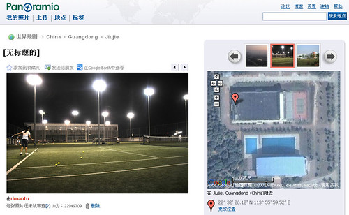
深圳大学网球场
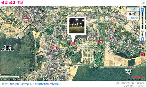
深圳大学网球场
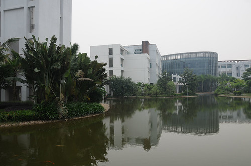
清华大学深圳研究生院
上图GPS的位置:
GPSVersion ID: 2.2.0.0
GPS Latitude: 22 deg 35′ 42.60″ N
GPS Longitude: 113 deg 57′ 54.00″ E
GPSAltitude Ref: Above Sea Level
GPSAltitude: 34 m
GPSDate Time: 2009:05:31 06:18:37+08:00
GPSSatellites: 03

深圳清华研究生院
最后一张:
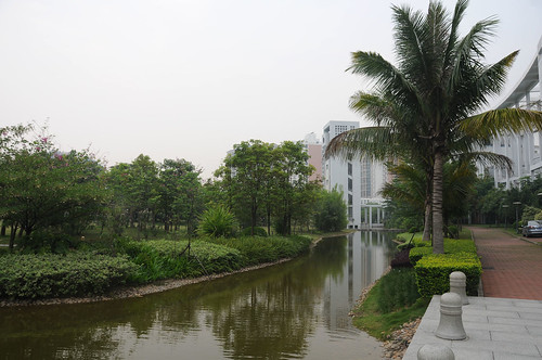
清华大学深圳研究生院
上图的GPS度数:
GPSVersion ID: 2.2.0.0
GPS Latitude: 22 deg 35′ 42.60″ N
GPS Longitude: 113 deg 57′ 54.00″ E
GPSAltitude Ref: Above Sea Level
GPSAltitude: 34 m
GPSDate Time: 2009:05:31 06:17:37+08:00
GPSSatellites: 03
只收到3颗卫星信号
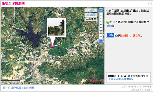
清华大学深圳研究生院
jonfey said,
14 6 月, 2009 @ 1:54 上午
这么高科技的东西,我看来现在是不会用了,不过我学习能力很强,如果有机会,一定会用的.